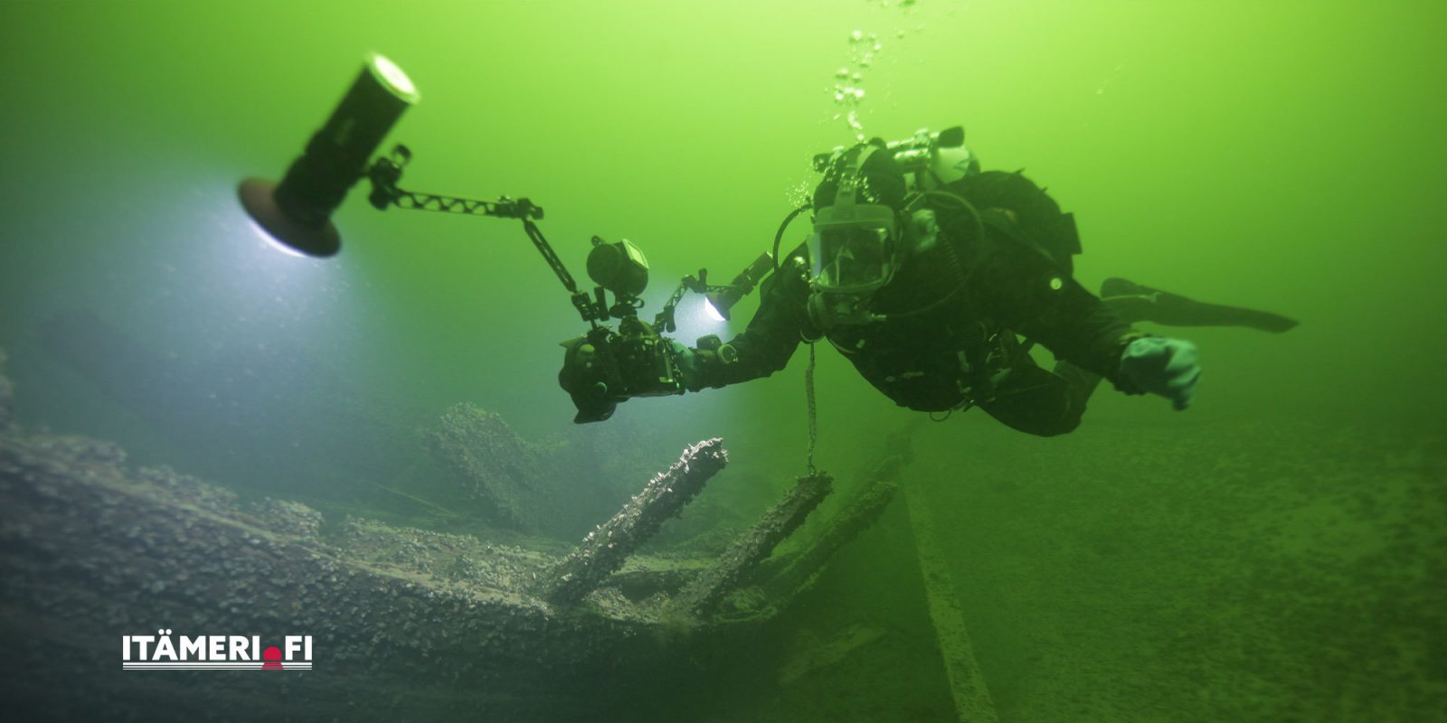
Itämeri.fi is opened – Finnish maritime information combined
You can now access Finnish maritime information through a single online portal. The Itämeri.fi service is a collection of information produced by several Finnish institutions over the years in an easy-to-understand format. The Finnish Heritage Agency has produced information and images on the underwater and marine cultural heritage of the Baltic Sea, in particular.
“The Finnish Heritage Agency has produced content on marine cultural heritage and marine archaeology for the Itämeri.fi website along with plenty of images of underwater sites. In the leisure time section (vapaa-ajan vietto), we provide information on interesting sites to visit, such as lighthouses and fortresses,” says project researcher Sinikka Kärkkäinen from the Finnish Heritage Agency.
Marine cultural heritage includes the built and archaeological signs in the environment, which show the human way of making sense of and using the sea and water bodies. These include wrecks and underwater structures, such as harbour and defence equipment.
The maritime information in the Itämeri.fi portal is produced by the Finnish Environment Institute, Geological Survey of Finland, the Finnish Meteorological Institute, the Natural Resources Institute Finland (Luke), Metsähallitus, the Finnish Heritage Agency, the Brahea Centre at the University of Turku, the Coordination Group for Marine Spatial Planning Cooperation, the Government of Åland, the Regional Council of Southwest Finland and the Finnish Transport Infrastructure Agency. The construction of the service was funded by the European Maritime and Fisheries Fund, and the work was coordinated by the Finnish Environment Institute. The service is available in three languages: Finnish, Swedish and English.
Comprehensive maritime image bank available to the public
The content production for the portal has also contributed to the work of the Finnish Heritage Agency in a broader sense. During the project, various registers were reviewed and updated. Information on entries in the Ancient Relics Register, for example, have been updated and completed with photographs.
At the same time, we were able to digitise the so-called storm inventory (Myrsky-inventointi) images, i.e. material consisting of more than 2,000 images of lighthouses and other buildings related to navigation. The collection of images, collected in 1996–2000, could have been left unused, but thanks to the project, we were able to digitise the material and make it available to the public in the Finna service. Other images on marine archaeological research sites have also been catalogued, digitised and published in Finna. The images are also available in the Itämeri.fi image bank, where they can be viewed and used freely for non-commercial purposes.
Data and cultural heritage sites on the map
The portal also includes a data service allowing for most of the marine geographic information and research material to be used freely. You can search for data, download it from the databases maintained by various institutions and view it in the map service.
The Seaguide section of the service is especially made for the use of the public, such as boaters and hikers. The service, optimised for mobile device use, offers real-time sea information as well as the locations of wrecks and cultural heritage sites discovered in the Baltic Sea. You can use the guide to plan a trip to the treasures of the Baltic Sea. The Seaguide is available in Finnish, Swedish and English.
For more information, please contact:
Project Researcher Sinikka Kärkkäinen, Finnish Heritage Agency, tel. +358 (0)295 33 6250, sinikka.karkkainen@museovirasto.fi
Intendant Sallamaria Tikkanen, Finnish Heritage Agency, tel. +358 (0)295 33 6312, sallamaria.tikkanen@museovirasto.fi
Project Coordinator Hanna Piepponen, Finnish Environment Institute, tel. +358 (0)40 182 3334, hanna.piepponen@ymparisto.fi
Finnish Environment Institute bulletin on Itämeri.fi (in Finnish)